Twenty hikes and paddles from four home bases: Leeds, Tannersville, Lanesville and Jefferson. Distance, gain, parking and season end dates for each one. No swimming holes.
Twenty fall outings within about an hour of four home bases. Checked October 10, 2026. Drive times marked routed were measured trip by trip; everything else was picked off the map, not timed. Navigate to the public lot or launch, not the town name.
October 15 · Mine Kill boating ends
Published season ends October 15. Summer rental advertising is not confirmation of fall service.
October 31 · Schoharie boating ends
DEP access permit, boat tag and certified steam cleaning required. Plan logistics before arriving.
Cold water changes the outing
No fall swimming-hole recommendations. A sunny day does not make cold-water immersion safe.
Greene County · Hudson foothills
Leeds & Catskill
The most varied base: tidal creek paddles close to home, with escarpment overlooks and serious mountain days farther west.
Laurel House Road designated parking; gravel approach to the official viewing platform. Typical grade is 7%: short does not mean completely flat.
Field notes & precautions
This route ends at the platform, not the lower pools. May–October roadside pull-off parking in Kaaterskill Clove is prohibited. Flash floods, cliff restrictions and slippery footing warrant staying on marked trails. Check posted hours before visiting.
Start at the gravel lot beyond North Lake Beach parking during vehicle-access season. Campground day-use fee applies; exact fee and daily gate hours must be checked.
Field notes & precautions
Big Hudson Valley views for a short walk. The off-season approach from South Lake dam parking is about 2 mi, not this half-mile route. Stay back from exposed ledges.
Big Hollow Road lot: 42.288561, -74.114842. Black Dome Trail north for 1 mi, then Escarpment Trail east for 0.7 mi; retrace. Free, year-round recreation.
Field notes & precautions
A compact escarpment climb rather than a casual stroll. Wet leaves conceal rocks and roots. Routed drives to the lot: Leeds 36 min; Jefferson 56 min. Allow extra time for parking.
4.8 mi return · 644 ft outward-route gain* · 3–4 hr
Steenburg Road trailhead off Platte Clove Road. Blue Long Path 1 mi, then yellow trail 1.4 mi; return the same way.
Field notes & precautions
*DEC's 644 ft is not a complete cumulative round-trip gain; the return includes climbing. Unguarded cliffs. Approach through Tannersville if the steep eastern Platte Clove Road is closed or unsuitable. Check road and parking status.
Scutt Road parking. Rock Shelter Trail 1.3 mi, Mary's Glen Trail 0.8 mi, then Escarpment Trail 0.2 mi to North Point; reverse route.
Field notes & precautions
Rocky, climbing woodland walk to a broad lake-and-mountain view. Do not confuse this route with longer North Mountain loops. Avoid ledges in ice or high wind. Check current access before visiting.
Big Hollow Road lot; red Black Dome Trail south to the 3,980-ft summit, then return. Free, year-round recreation. Routed lot drives: Leeds 36 min; Jefferson 56 min.
Field notes & precautions
Expert tier here means a strenuous mountain day for experienced hikers, not technical climbing. Sustained steep terrain, early summit ice and limited daylight. Turn around if traction or conditions exceed your equipment and experience.
6.6 mi return · estimated 1,500–1,800 ft gain · 4–5 hr
Peck Road lot; Elm Ridge Trail 0.9 mi, then Escarpment Trail 2.4 mi to summit. Free, year-round recreation. Routed drive from Jefferson: 54 min.
Field notes & precautions
Strenuous intermediate / advanced. DEC's 1,494-ft ascent applies to the Escarpment segment, not clearly the entire outing. DEC reports the Elm Ridge–summit section reopened; still recheck before departure.
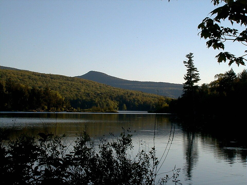
Free, year-round recreation; hand launch, no motors. County Route 78 lower lot: 42.235597, -74.122659. The closest accessible spaces are reserved for users with mobility impairments. Tannersville to lake routed 10 min, not a confirmed parking spot.
Field notes & precautions
Beginner terrain only in calm conditions with cold-water preparation. No rental service or swimming authorization verified. Check before visiting. Stay close to shore and turn back as wind builds.
No motors. North Lake paved ramp; South Lake accessible hand launch with kayak slide. DEC lists canoe/kayak/SUP rentals and May 15–October 25 facility dates, but doesn't say which year. Call 518-589-5058.
Field notes & precautions
Rental dates, daily gate hours and exact day-use fee unverified: check before visiting. Lanesville to campground routed 21 min; internal launch travel extra. Swimming: DEC advises designated beaches only, unsupervised by lifeguards; prohibited 30 min before sunset through 30 min after sunrise. Not a fall swimming recommendation.
Tidal creek · suggested 60–90 min · guide preferred
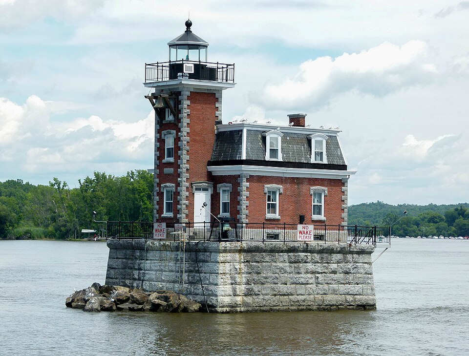
Dutchman's Landing municipal launch: 42.213118, -73.855206. Leeds to park routed 15 min. FlotSam describes creek out-and-back rentals; confirm opening, fall season, fees and launch operations before visiting.
Field notes & precautions
Tidal, not guaranteed flatwater: current, boat wakes and wind at the mouth. Inexperienced fall paddlers should book a guide or choose a lake. Do not drift onto the Hudson as an unplanned extension.
Athens NYS boat launch: 42.272987, -73.802254. This is different from Screaming Eagle's downtown launch at 19 S. Water Street. Guided trips are by appointment: 518-312-7729; current fall dates/prices unverified.
Field notes & precautions
Expert tier reflects tide, wind, wakes and channel traffic, not a whitewater grade. No self-guided lighthouse or shipping-channel crossing is recommended. Reserve with an outfitter and let conditions determine route and duration.
Greene County · Mountain top
Tannersville & Haines Falls
Best for short drives to mountain lakes and escarpment trails. Colgate Lake is the simplest bring-your-own-boat choice.
Laurel House Road designated parking; gravel approach to the official viewing platform. Typical grade is 7%: short does not mean completely flat.
Field notes & precautions
This route ends at the platform, not the lower pools. May–October roadside pull-off parking in Kaaterskill Clove is prohibited. Flash floods, cliff restrictions and slippery footing warrant staying on marked trails. Check posted hours before visiting.
Start at the gravel lot beyond North Lake Beach parking during vehicle-access season. Campground day-use fee applies; exact fee and daily gate hours must be checked.
Field notes & precautions
Big Hudson Valley views for a short walk. The off-season approach from South Lake dam parking is about 2 mi, not this half-mile route. Stay back from exposed ledges.
Big Hollow Road lot: 42.288561, -74.114842. Black Dome Trail north for 1 mi, then Escarpment Trail east for 0.7 mi; retrace. Free, year-round recreation.
Field notes & precautions
A compact escarpment climb rather than a casual stroll. Wet leaves conceal rocks and roots. Routed drives to the lot: Leeds 36 min; Jefferson 56 min. Allow extra time for parking.
4.8 mi return · 644 ft outward-route gain* · 3–4 hr
Steenburg Road trailhead off Platte Clove Road. Blue Long Path 1 mi, then yellow trail 1.4 mi; return the same way.
Field notes & precautions
*DEC's 644 ft is not a complete cumulative round-trip gain; the return includes climbing. Unguarded cliffs. Approach through Tannersville if the steep eastern Platte Clove Road is closed or unsuitable. Check road and parking status.
Scutt Road parking. Rock Shelter Trail 1.3 mi, Mary's Glen Trail 0.8 mi, then Escarpment Trail 0.2 mi to North Point; reverse route.
Field notes & precautions
Rocky, climbing woodland walk to a broad lake-and-mountain view. Do not confuse this route with longer North Mountain loops. Avoid ledges in ice or high wind. Check current access before visiting.
Big Hollow Road lot; red Black Dome Trail south to the 3,980-ft summit, then return. Free, year-round recreation. Routed lot drives: Leeds 36 min; Jefferson 56 min.
Field notes & precautions
Expert tier here means a strenuous mountain day for experienced hikers, not technical climbing. Sustained steep terrain, early summit ice and limited daylight. Turn around if traction or conditions exceed your equipment and experience.
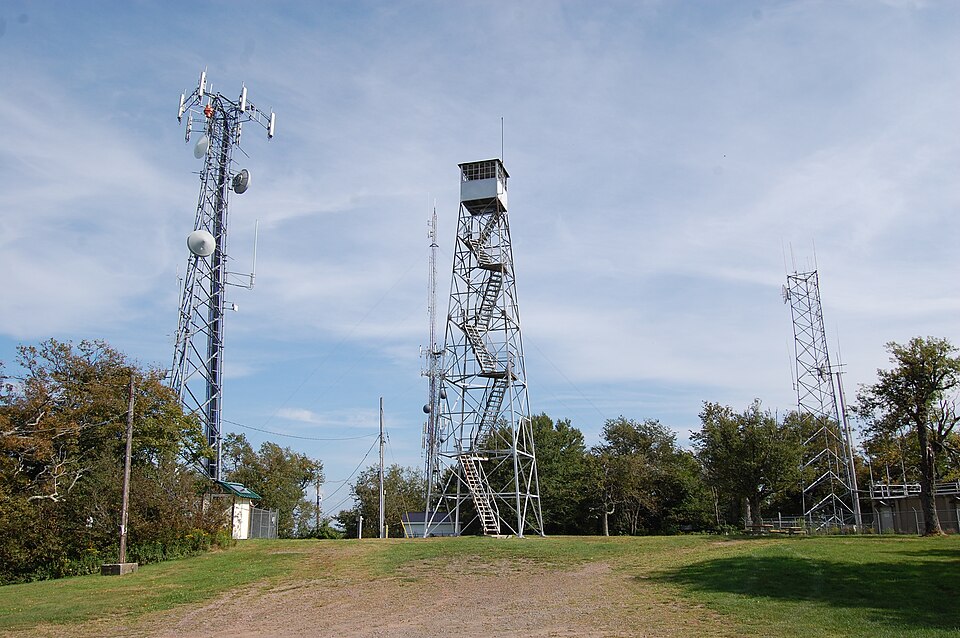
Use DEC's signed Route 214 trailhead, 42.181339, -74.196415. Do not follow a navigator onto private Lane Road. DEC's 2.2-mi Becker Hollow Trail ends at a junction, not at the fire tower.
Field notes & precautions
Very steep upper climb. *Distance/gain describe a summit-area loop in the supplementary route guide, not DEC measurements. Tower/cab opening not verified; check before visiting. Allow a full hiking day.
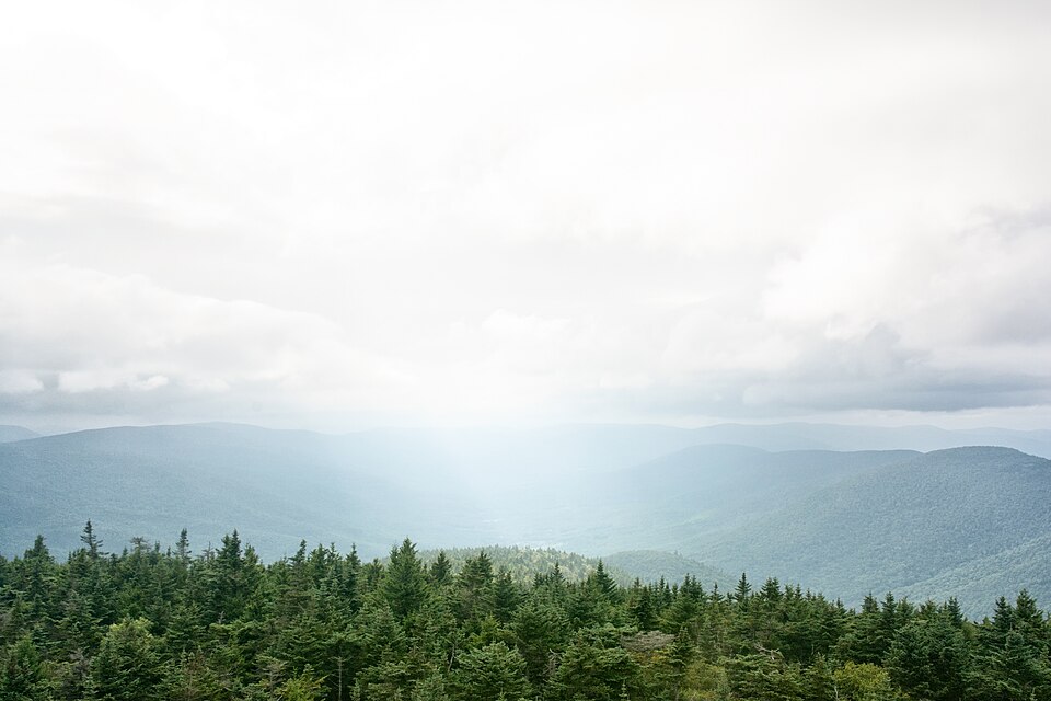
Spruceton Road lot: 42.184566, -74.272038. Follow blue Spruceton Trail 3.4 mi one way along the old woods road to the fire tower.
Field notes & precautions
Strenuous intermediate / advanced outing: less steep than Becker Hollow, but long and high. DEC describes the route as moderately difficult. Cab access is not guaranteed. Finish well before darkness.
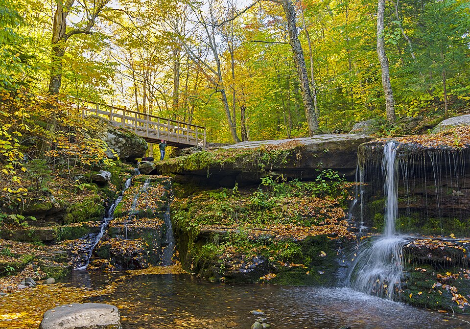
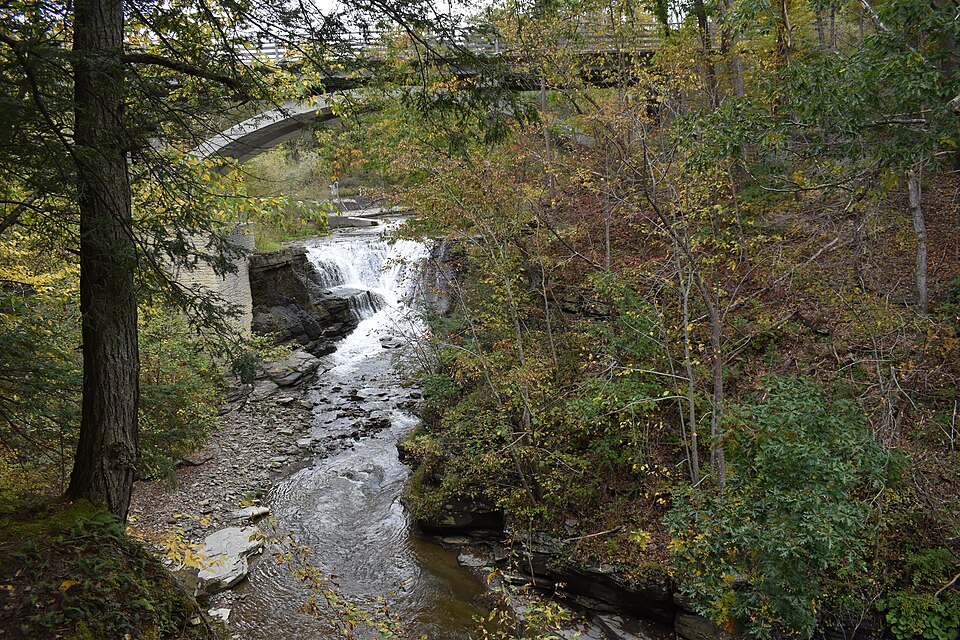
Start at the eastern end of Spruceton Road on the Diamond Notch Trail; DEC places the falls 1 mi from this end. This is not the longer approach from Lanesville's Diamond Notch Road.
Field notes & precautions
Beginner-plus: a natural forest trail with uneven footing, not an accessible promenade. Enjoy the waterfall from the trail; swimming permission was not verified. Free, year-round recreation; check trail conditions.
Free, year-round recreation; hand launch, no motors. County Route 78 lower lot: 42.235597, -74.122659. The closest accessible spaces are reserved for users with mobility impairments. Tannersville to lake routed 10 min, not a confirmed parking spot.
Field notes & precautions
Beginner terrain only in calm conditions with cold-water preparation. No rental service or swimming authorization verified. Check before visiting. Stay close to shore and turn back as wind builds.
No motors. North Lake paved ramp; South Lake accessible hand launch with kayak slide. DEC lists canoe/kayak/SUP rentals and May 15–October 25 facility dates, but doesn't say which year. Call 518-589-5058.
Field notes & precautions
Rental dates, daily gate hours and exact day-use fee unverified: check before visiting. Lanesville to campground routed 21 min; internal launch travel extra. Swimming: DEC advises designated beaches only, unsupervised by lifeguards; prohibited 30 min before sunset through 30 min after sunrise. Not a fall swimming recommendation.
Ulster / Greene counties · Route 214 corridor
Lanesville & Hunter
The strongest base for steep Hunter Mountain routes. Use managed mountain lakes for paddling rather than treating roadside creeks as beginner water.
Laurel House Road designated parking; gravel approach to the official viewing platform. Typical grade is 7%: short does not mean completely flat.
Field notes & precautions
This route ends at the platform, not the lower pools. May–October roadside pull-off parking in Kaaterskill Clove is prohibited. Flash floods, cliff restrictions and slippery footing warrant staying on marked trails. Check posted hours before visiting.
Start at the gravel lot beyond North Lake Beach parking during vehicle-access season. Campground day-use fee applies; exact fee and daily gate hours must be checked.
Field notes & precautions
Big Hudson Valley views for a short walk. The off-season approach from South Lake dam parking is about 2 mi, not this half-mile route. Stay back from exposed ledges.
Big Hollow Road lot: 42.288561, -74.114842. Black Dome Trail north for 1 mi, then Escarpment Trail east for 0.7 mi; retrace. Free, year-round recreation.
Field notes & precautions
A compact escarpment climb rather than a casual stroll. Wet leaves conceal rocks and roots. Routed drives to the lot: Leeds 36 min; Jefferson 56 min. Allow extra time for parking.
4.8 mi return · 644 ft outward-route gain* · 3–4 hr
Steenburg Road trailhead off Platte Clove Road. Blue Long Path 1 mi, then yellow trail 1.4 mi; return the same way.
Field notes & precautions
*DEC's 644 ft is not a complete cumulative round-trip gain; the return includes climbing. Unguarded cliffs. Approach through Tannersville if the steep eastern Platte Clove Road is closed or unsuitable. Check road and parking status.
Scutt Road parking. Rock Shelter Trail 1.3 mi, Mary's Glen Trail 0.8 mi, then Escarpment Trail 0.2 mi to North Point; reverse route.
Field notes & precautions
Rocky, climbing woodland walk to a broad lake-and-mountain view. Do not confuse this route with longer North Mountain loops. Avoid ledges in ice or high wind. Check current access before visiting.
Big Hollow Road lot; red Black Dome Trail south to the 3,980-ft summit, then return. Free, year-round recreation. Routed lot drives: Leeds 36 min; Jefferson 56 min.
Field notes & precautions
Expert tier here means a strenuous mountain day for experienced hikers, not technical climbing. Sustained steep terrain, early summit ice and limited daylight. Turn around if traction or conditions exceed your equipment and experience.
Use DEC's signed Route 214 trailhead, 42.181339, -74.196415. Do not follow a navigator onto private Lane Road. DEC's 2.2-mi Becker Hollow Trail ends at a junction, not at the fire tower.
Field notes & precautions
Very steep upper climb. *Distance/gain describe a summit-area loop in the supplementary route guide, not DEC measurements. Tower/cab opening not verified; check before visiting. Allow a full hiking day.
Spruceton Road lot: 42.184566, -74.272038. Follow blue Spruceton Trail 3.4 mi one way along the old woods road to the fire tower.
Field notes & precautions
Strenuous intermediate / advanced outing: less steep than Becker Hollow, but long and high. DEC describes the route as moderately difficult. Cab access is not guaranteed. Finish well before darkness.
Start at the eastern end of Spruceton Road on the Diamond Notch Trail; DEC places the falls 1 mi from this end. This is not the longer approach from Lanesville's Diamond Notch Road.
Field notes & precautions
Beginner-plus: a natural forest trail with uneven footing, not an accessible promenade. Enjoy the waterfall from the trail; swimming permission was not verified. Free, year-round recreation; check trail conditions.
Free, year-round recreation; hand launch, no motors. County Route 78 lower lot: 42.235597, -74.122659. The closest accessible spaces are reserved for users with mobility impairments. Tannersville to lake routed 10 min, not a confirmed parking spot.
Field notes & precautions
Beginner terrain only in calm conditions with cold-water preparation. No rental service or swimming authorization verified. Check before visiting. Stay close to shore and turn back as wind builds.
No motors. North Lake paved ramp; South Lake accessible hand launch with kayak slide. DEC lists canoe/kayak/SUP rentals and May 15–October 25 facility dates, but doesn't say which year. Call 518-589-5058.
Field notes & precautions
Rental dates, daily gate hours and exact day-use fee unverified: check before visiting. Lanesville to campground routed 21 min; internal launch travel extra. Swimming: DEC advises designated beaches only, unsupervised by lifeguards; prohibited 30 min before sunset through 30 min after sunrise. Not a fall swimming recommendation.
Schoharie / Delaware counties · Northern hills
Jefferson & Blenheim
Quiet pond outings, a close state park, and reservoir paddling with specific seasonal rules. The bigger Catskill hikes sit near the one-hour limit.
Big Hollow Road lot: 42.288561, -74.114842. Black Dome Trail north for 1 mi, then Escarpment Trail east for 0.7 mi; retrace. Free, year-round recreation.
Field notes & precautions
A compact escarpment climb rather than a casual stroll. Wet leaves conceal rocks and roots. Routed drives to the lot: Leeds 36 min; Jefferson 56 min. Allow extra time for parking.
Big Hollow Road lot; red Black Dome Trail south to the 3,980-ft summit, then return. Free, year-round recreation. Routed lot drives: Leeds 36 min; Jefferson 56 min.
Field notes & precautions
Expert tier here means a strenuous mountain day for experienced hikers, not technical climbing. Sustained steep terrain, early summit ice and limited daylight. Turn around if traction or conditions exceed your equipment and experience.
Choose 0.5–1 mi return · gain unverified · 30–60 min
Rossman Hill Road recreation area in Burnt-Rossman Hills State Forest. Use an out-and-back from the pond access rather than assuming a maintained complete loop.
Field notes & precautions
Distance is an outing suggestion, not an agency-measured route. Viewing platforms and accessible facilities do not make every shoreline path accessible. Bring bright clothing in hunting season. Daily hours unverified: check before visiting.
Short overlook visit · mileage/gain unverified · 30–60 min
Separate waterfall parking area about a quarter-mile south of the main park entrance, not the reservoir boat launch. Falls access: dawn to dusk, year-round, weather permitting. No vehicle entrance fee.
Field notes & precautions
Use overlooks for the easier visit. The trail toward the lower falls adds slope and slippery footing, so it is not equivalent in difficulty. Main park routed about 10 min from Jefferson; allow extra travel to the separate falls lot. No swimming recommendation.
About 2–2.3 mi return · about 680 ft gain · 1–1.5 hr
Walk the gravel access road from a lawful base parking location. County tourism describes the village summit park; exact base parking and current gate/tower status need confirmation.
Field notes & precautions
A steady uphill road walk sharing space with vehicles when the road is open. Do not park in or block private drives. The routing service led toward the summit, so no verified trailhead drive time is claimed.
6.6 mi return · estimated 1,500–1,800 ft gain · 4–5 hr
Peck Road lot; Elm Ridge Trail 0.9 mi, then Escarpment Trail 2.4 mi to summit. Free, year-round recreation. Routed drive from Jefferson: 54 min.
Field notes & precautions
Strenuous intermediate / advanced. DEC's 1,494-ft ascent applies to the Escarpment segment, not clearly the entire outing. DEC reports the Elm Ridge–summit section reopened; still recheck before departure.
DEC hand launch off Rossman Hill Road. No local rental operation verified. Daily hours and launch condition unverified: check before visiting.
Field notes & precautions
Best small-water candidate from Jefferson in calm weather. Not an NYC reservoir, so the Schoharie Reservoir DEP permit process does not apply. Swimming permission not verified. Cold-water gear remains necessary.
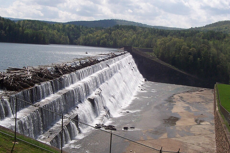
Mine Kill launch: sign in and hot-water wash your boat before AND after reservoir use. No boating permit needed. Launch opens 7:30 am; boats off one hour before park closing. Call 518-827-8690 for that day's closing time and any restrictions.
Field notes & precautions
About 10 min to park from Jefferson, extra to launch. Rentals advertised for summer only: fall rentals unverified, check before visiting. Not an outing for after October 15 under the published schedule. Wind, motorboats and operational restrictions matter.
Use a designated launch such as Devasego Park or Snyder's Cove. Free DEP Access Permit, recreational boat tag and certified steam cleaning of boat/paddles required. Kayaks minimum 9 ft; other allowed recreational boats minimum 11 ft 5 in. Nonmotorized; no sailboats.
Field notes & precautions
Removing the boat from reservoir property means another steam cleaning before return. No vehicle/trailer in water. Confirm launch-specific access and cleaning appointment. Fall rental availability unverified; CWC lists vendors. Open water can be too windy for beginners. No reservoir swimming.
Pack list · gear, maps, books
Pack for no signal
What this guide keeps telling you to carry, and where to get it.
The no-signal pick
Offline GPS or satellite messenger
No signal is the point of the trip, not a plan for an emergency. A handheld GPS keeps your track with zero bars; a satellite messenger can text and send SOS where phones can't.
As an Amazon Associate, Unplugged Cabins earns from qualifying purchases. Links open Amazon's current best sellers or search results; we don't list prices because they change.
Read before you go
Difficulty describes terrain in dry, unfrozen conditions—not your fitness or today’s safety. Beginner paddling still requires PFDs, cold-water clothing and self-rescue skills. Wear PFDs throughout; postpone in strong wind, floodwater, thunderstorms or conditions beyond your training. No cliff jumping, waterfall scrambling or unverified swimming holes are recommended. Mountain hikes need offline navigation, headlamp, layers, food, water and a turnaround time; wet leaves and early ice can change the grade. Wear bright colors where hunting is allowed. All hike durations are planning estimates, excluding long breaks. Most distances are round-trip; exceptions and unverified gains are labelled.
Access, not assumptions
Research is not a real-time opening guarantee. Check each linked land-manager page and posted signs on your departure day. Unconfirmed hours, fees, rentals and tower access are explicitly flagged.
Ashokan is not in DEP’s general recreational kayaking program. Do not confuse angler-boat rules with recreational access.
North–South Lake is the only swimming location here with explicit first-party swimming guidance; that does not make it a recommended fall swim. Colgate and Looking Glass Pond swimming permission was not verified.
Fawn’s Leap and Kaaterskill swimming holes are excluded: cliff restrictions, flash-flood exposure and legal parking limitations make casual recommendations inappropriate.
Drive times marked routed were checked one trip at a time. There is no full four-base drive-time table. Some map pins land on a general facility, so navigate to the trailhead or launch itself.
Emergency: call 911. DEC Forest Rangers: 1-833-697-7264. Do not rely on cell service.